


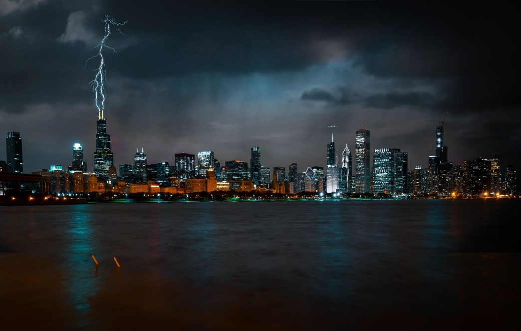
Chicago and its surrounding suburbs face a difficult combination of polluted air, summer heat, and potentially severe thunderstorms on Monday, July 20. Smoke from Canadian wildfires has once again reduced air quality across northern Illinois. Strong storms could then develop during the evening.
Temperatures may approach 90 degrees Fahrenheit, or about 32 degrees Celsius, during the afternoon. Humidity will also increase, creating favorable conditions for thunderstorms to strengthen. The greatest severe weather threat is expected after 5 p.m.
Rain and thunderstorms could continue into the overnight hours. Damaging wind gusts and heavy rainfall are the primary concerns. Hail and a brief tornado are also possible.
The storms may arrive in two separate waves. However, forecasters have also warned that the strongest activity could miss much of the Chicago area.
Canadian Wildfire Smoke Reduces Air Quality
Smoke from Canadian wildfires continues to linger over northern Illinois. An air quality alert remains in effect for Chicago and much of the surrounding region.
Air quality across most of the area is considered unhealthy for sensitive groups. Conditions in some locations have reached levels considered unhealthy for everyone.
People with respiratory or heart conditions, older adults, children, and other sensitive residents are advised to reduce prolonged or strenuous outdoor activity. Those who must remain outside may consider wearing an N95 or KN95 mask.
Rain and a change in wind direction are expected to gradually move the smoke away from the Chicago area and improve air quality.
Damaging Winds, Hail and a Brief Tornado Are Possible
Thunderstorms could begin after 5 p.m. and continue through the evening and overnight hours. Some storm cells may strengthen rapidly, making it important for residents to monitor weather alerts throughout the night.
Damaging straight-line winds are expected to be the main hazard. Powerful gusts could break tree limbs, bring down trees, and cause power outages.
Heavy rainfall could also create localized drainage problems and leave standing water on some roads.
Most of the Chicago area is under a level 2 risk on a five-level severe weather scale. Parts of DeKalb and McHenry counties are under a level 3 risk.
Strong winds and heavy rain remain the main concerns, but hail is also possible. Forecasters are not ruling out a brief tornado.
Cooler Air Arrives After the Storms
Rain and thunderstorms should end by daybreak Tuesday. A cold front will change the wind direction, help remove the wildfire smoke, and bring noticeably cooler conditions.
Tuesday is expected to be partly sunny, with high temperatures between approximately 80 and 83 degrees Fahrenheit, or 27 to 28 degrees Celsius.
Wednesday should be even cooler and mostly sunny. High temperatures are expected to range from 70 to 79 degrees Fahrenheit, or approximately 21 to 26 degrees Celsius.
Summer Heat Returns by the Weekend
The cooler conditions will not last long. Another warming trend is expected to begin late in the week.
Temperatures should climb above 80 degrees Fahrenheit, or about 27 degrees Celsius, beginning Friday.
By Sunday, daytime highs could reach between 90 and 93 degrees Fahrenheit, or approximately 32 to 34 degrees Celsius.
After Monday’s storms and the cooler conditions expected Tuesday and Wednesday, summer heat will therefore return to Chicago by the weekend.